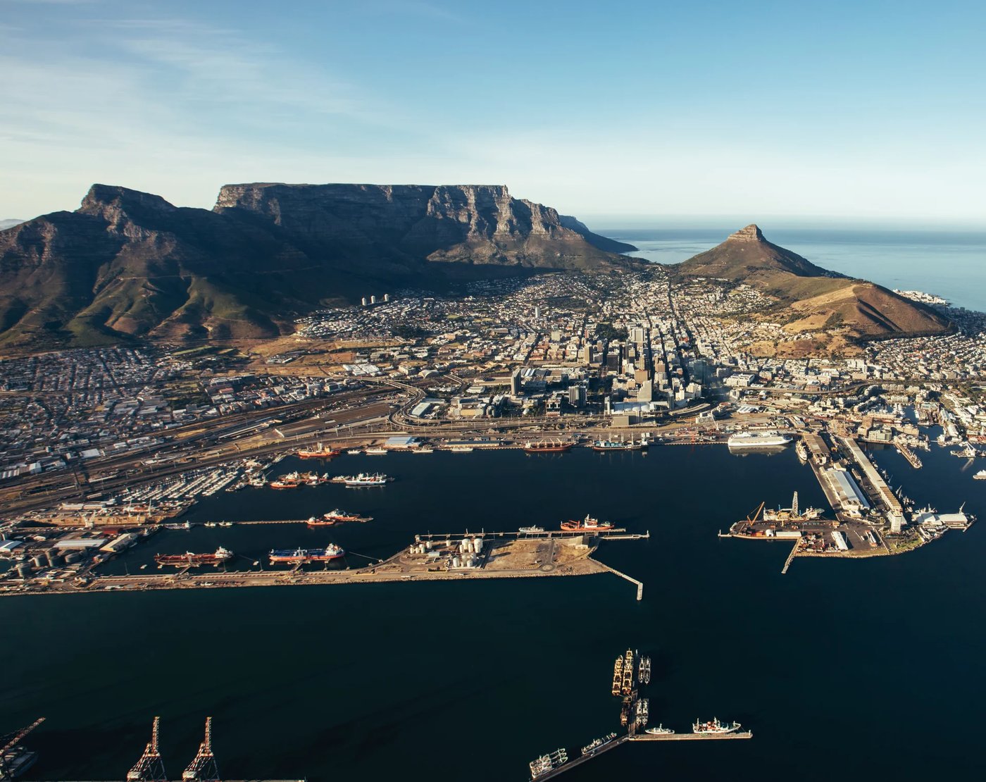
Cape Town Foreshore

Table Bay · reclaimed 1938–1945

This street was sea

For almost 300 years Cape Town met the water at the bottom of Adderley Street. Then a Dutch dredging fleet pumped the bay floor ashore and made a new district: the Foreshore.

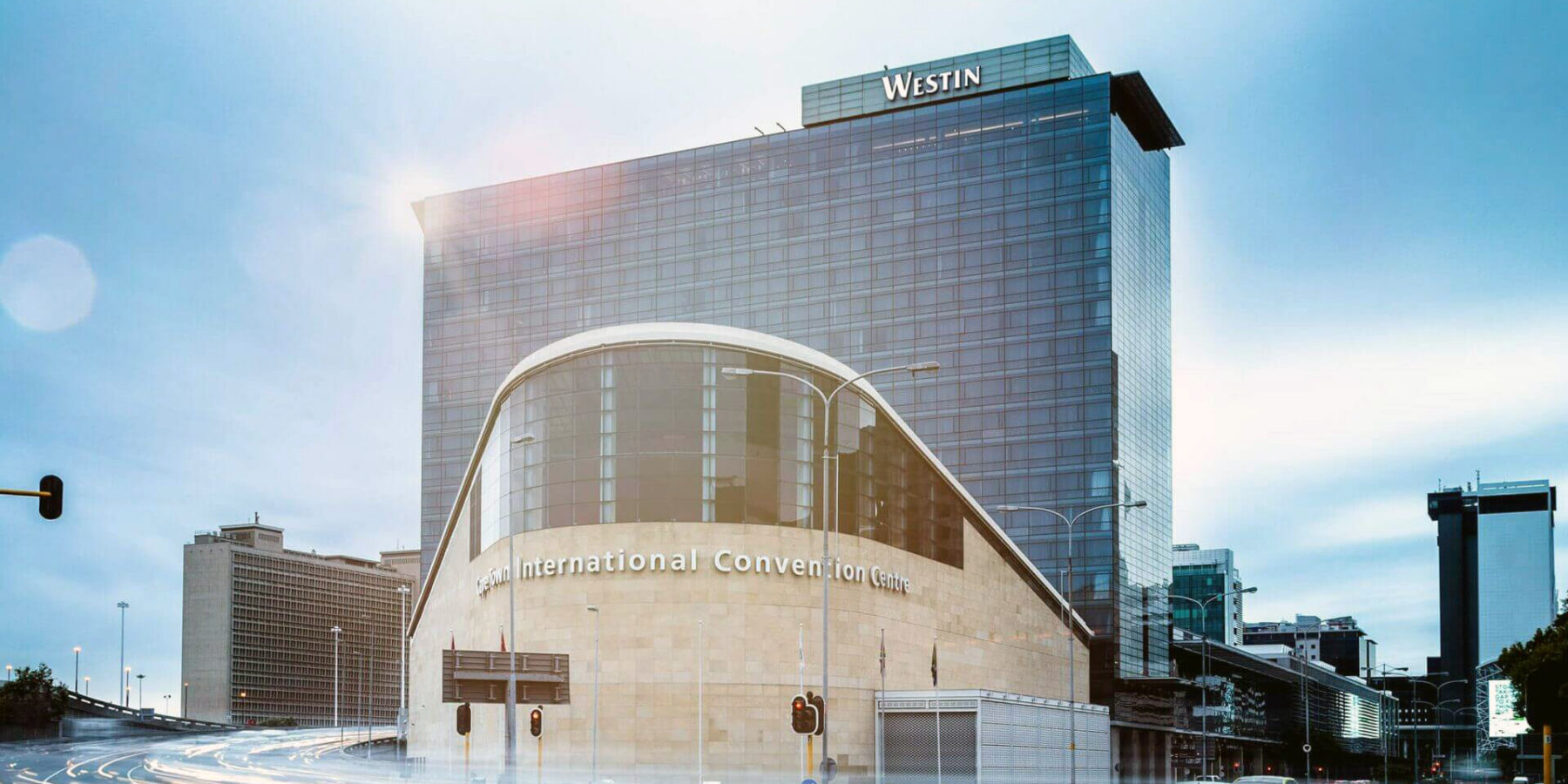
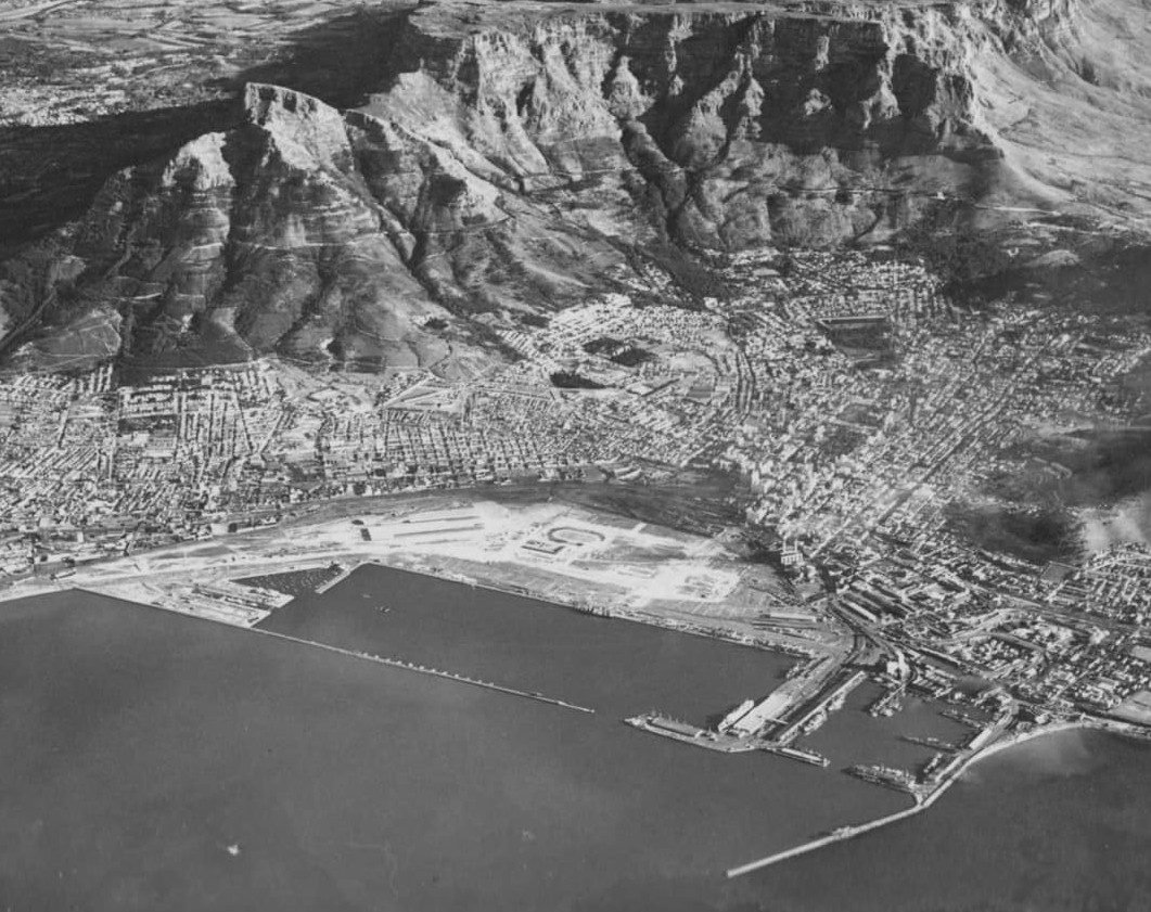
Cape Town foreshore, 1946 · Public domain (Wikimedia Commons)Cape Town today · Jacob Lund / iStock

0acres raised from the bay (about 194 ha)
0vessels in HAM's Dutch fleet
1913Adderley Street Pier opens
0hectares the City now wants to unlock

Where is it?

Below Strand Street, between the city and the harbour

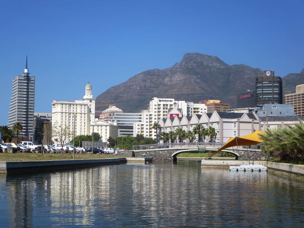
The Foreshore is the flat strip of Cape Town between the old city and the docks. Stand on Strand Street and walk towards the sea: everything from there to the harbour wall was water until 1938.

It runs roughly from Buitengracht Street in the west to the station and Civic Centre in the east, and meets the V&A Waterfront at the Roggebaai Canal.

Schematic map of the Foreshore The old shoreline ran close to Strand Street. The reclaimed Foreshore extends into Table Bay to the Duncan Dock. 6789 75 Pier 1913–1938 Duncan Dock CTICC Strand St · old city Adderley St ↓ Roggebaai 01 02 03 04 05
Table BayReclaimedShore before 1938 Schematic · not to scale
  1. 01Old city Strand Street — the shoreline until 1938
  2. 02Heerengracht the grand boulevard laid out on the new land
  3. 03Rijk Tulbagh Square hotels and apartments on the old seabed
  4. 04CTICC & Roggebaai Canal conventions and water taxis
  5. 05Duncan Dock the harbour built with the reclamation

Then and now

Drag the tide back

In 1946 the new land lay empty between the city and the harbour. Drag the handle to see what grew on it.

The Foreshore today from over Table Bay: Duncan Dock, the city centre towers and Table Mountain
Aerial photo of the newly reclaimed, empty Foreshore in 1946

Left: Cape Town foreshore, 1946, public domain. Right: the Foreshore and Duncan Dock today, Jacob Lund / iStock.

Timeline

From jetty to convention centre

The line down the left is the shore. It runs blue while the city still faced the water and turns to sand when the land was made.

1652–1910

The city on the beach

  1. 1654

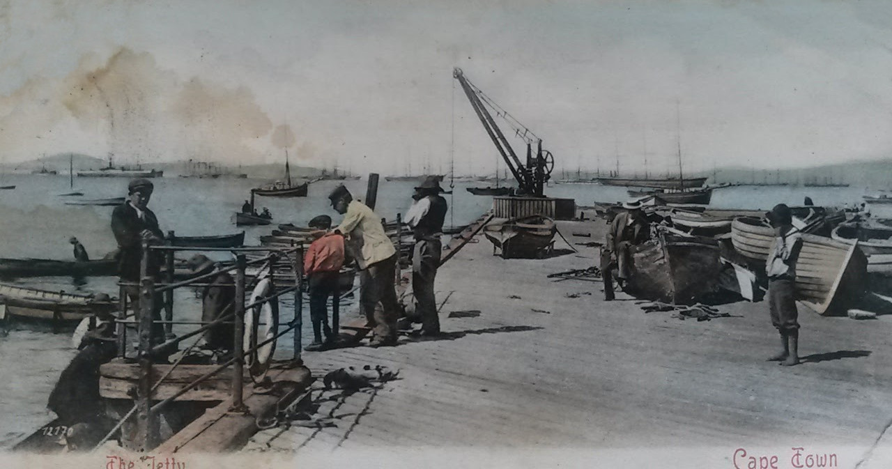
    Jan van Riebeeck builds a small jetty to serve the VOC refreshment station.

    V&A Waterfront
  2. 1663

    Wagenaer's Reservoir is built near the shore. Enslaved workers roll water barrels down to a jetty for the ships.

    SAHO
  3. 1839–1842

    The North Wharf is built at the foot of Bree Street.

    Saitowitz et al. 1993
  4. 1800s–1930s

    On Roggebaai beach small boats land and fishermen sell their catch on the sand. Italian fishers arrive in the 1890s.

    KBHA Bulletin 7
  5. 1899

    John Tweed's statue of Van Riebeeck, a gift from Cecil Rhodes, is unveiled where he was believed to have landed.

    SAHO
  6. 1902

    Engineer Cathcart Methven tables the first plans to reclaim the Foreshore.

    UCT Ibali
1910–1938

The Pier and Promenade

  1. November 1913

    The Adderley Street Pier opens, built on the widened Central Jetty with a 1,000 ft extension.

    KBHA Bulletin 16
  2. 1913

    A 40 ft promenade, Marine Drive and a row of palms. The name Old Marine Drive and some of the palms survive.

    KBHA Bulletin 16
  3. 1913–1938

    Bathing boxes, fishing, rowing boats, a restaurant and a 2,000-seat amphitheatre with Sunday concerts. The pier's fountain now stands on the Heerengracht circle.

    VoiceMap
  4. 1934–1935

    The pier's peak years, with more than 210,000 admissions a year.

    KBHA Bulletin 16

1934–1945

The reclamation

  1. 1934–1937

    Harbour, railways and city all need space. A modified 1903 plan is tabled in Parliament in April 1937.

    KBHA Bulletin 16
  2. December 1937

    The Hollandsche Aanneming Maatschappij (HAM) wins the contract and brings a fleet of 35 vessels from the Netherlands.

    KNOB Bulletin 2023-3
  3. 1937–1938

    Architect John Parker, Prof. Pearce and the artist Gwelo Goodman protest the loss of the bay.

    KBHA Bulletin 16
  4. 27–31 March 1938

    "The Passing of the Pier": a last concert for 2,000 people, then a final dance and fireworks.

    KBHA Bulletin 16
  5. 10 May 1938

    Prime Minister Hertzog launches the dredging at 8 pm. The pier is stripped to its deck and used as a building yard.

    KBHA Bulletin 16
  6. March 1940

    The pier's tower, weakened by blasting, is pulled into the sea by three tugs.

    KBHA Bulletin 16
  7. 1938–1945

    The Duncan Dock is built. Reclamation was due in July 1941 but the war pushed it to July 1945, while the docks served troop and supply convoys.

    Britannica

1945–1979

Building on the new land

  1. Late 1940s

    A Cape Argus caption calls the new ground "Sahara-like" and expects no permanent buildings for ten years.

    Independent Newspapers Archive
  2. 1947

    The Cape Town Foreshore Plan is published, with B.S. Cooke's watercolours of the district to come.

    Botha 2013
  3. 1952

    The Van Riebeeck Tercentenary Festival fills the empty Foreshore with a stadium and a replica of the Drommedaris. The ANC and the Unity Movement lead a boycott.

    ESAT
  4. 1954–1969

    The statue of Maria van Riebeeck, a gift from the Netherlands, is unveiled in 1954 and moved to the Heerengracht in 1969.

    Wikipedia
  5. 1962

    The Tulbagh Hotel opens on Rijk Tulbagh Square, one of the first buildings on the new land. The same year the Naspers Centre rises on the Heerengracht.

    Hotel records
  6. 1960s

    The new railway station rises on the old goods yard; the Nedbank head office follows in 1968.

    Wikipedia
  7. 1971

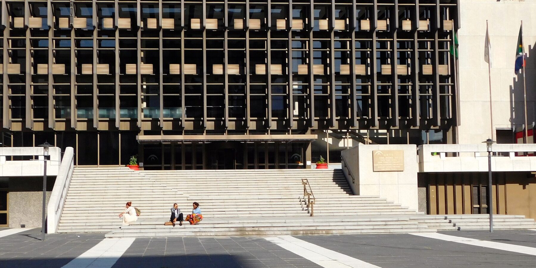
    The Nico Malan Theatre opens on 19 May. It is opened to all races only in 1975 and renamed Artscape in 2001.

    Artscape
  8. 1977

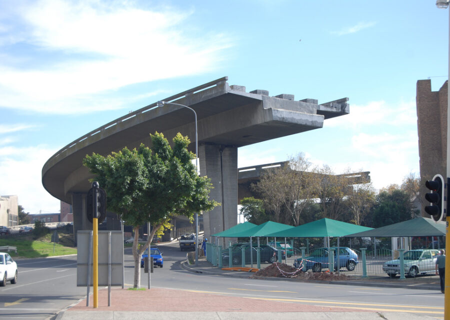
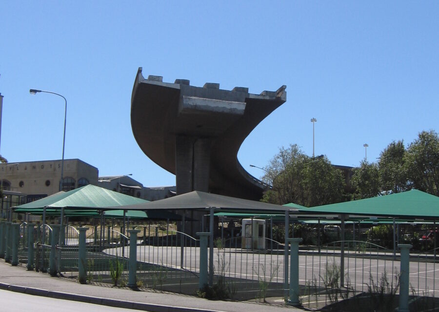
    Work on the Foreshore freeways stops for lack of money, leaving the unfinished ends that still stand.

  9. 1975–1979

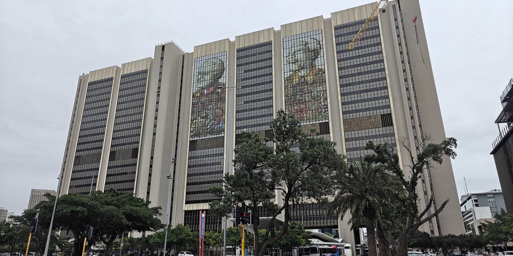
    Wagenaer's Reservoir is rediscovered while the Golden Acre is built. The Civic Centre opens in 1978.

    Wikipedia

2000s–today

The buried shore resurfaces

  1. 2003

    The CTICC opens. Water taxis run along the Roggebaai Canal, which keeps the old beach's name.

    Wikipedia
  2. c. 2016

    Four concrete columns of the old pier are found during the CTICC expansion.

    CapeTownMagazine
  3. 2019–2025

    Office blocks around Rijk Tulbagh Square and the Heerengracht are converted into hotels and apartments.

    Weekend Argus
  4. October 2026

    The City presents its Foreshore Precinct plan to finish the unfinished bridges with a civic bridge, promenade and new neighbourhood.

    City of Cape Town

The Dutch thread

Dutch from end to end

I

The first shore

The VOC founded the refreshment station on the original beach in 1652. Families who arrived with the Company, such as the Keets in 1755, lived around Strand and Waterkant Street for generations.

II

The new land

HAM, a Dutch contractor founded in 1909, dredged the Foreshore. Its dredging arm is now part of Van Oord in Rotterdam.

III

The gift

The Netherlands gave the statue of Maria van Riebeeck that now stands on the Heerengracht, on ground HAM made.

Kaapstad dankt een hele wijk aan Nederlandse baggeraars. Tussen 1938 en 1945 haalde de Hollandsche Aanneming Maatschappij bijna 200 hectare land uit de Tafelbaai.

What happens next

Finishing the unfinished bridges

In October 2026 the City of Cape Town released drawings for the Foreshore Precinct: replace the half-built freeways with a civic bridge and a tunnel, and open about 15 hectares of idle land to a harbour promenade, parks, homes and business.

Phase 1
  • Civic bridge over Buitengracht Street, with a park beneath
  • Incoming freeway linked to Helen Suzman Boulevard
  • Bus priority lanes
  • New canal joining the V&A canal
Phase 2
  • Outbound bridge and tunnel along Duncan Road
  • Old outbound elevated freeway removed
  • Harbour promenade towards Sea Point
  • Streets, parks, affordable homes and business
0years the land under the freeways has stood idle, according to the Cityforeshore.capetown

Latest from the precinct

All news

20 Oct 2026 · Developments

ThirtyFour18: a R2.5bn tower for the Heerengracht

Afrirent Holdings, through its Indalo Hotels and Leisure Group, plans a 35-storey mixed-use tower called ThirtyFour18 on a 1,680 m² site on Heerengracht Street, in front…

Stay on the Foreshore

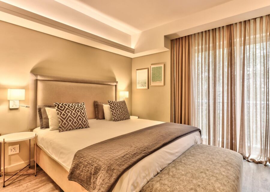
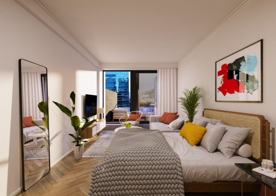
Sleep on the old seabed

All Foreshore stays

Rijk Tulbagh Square

A square on the old seabed

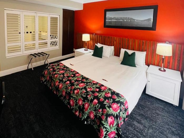
The square is named after Ryk Tulbagh, governor of the Cape from 1751 to 1771. Its buildings went up in the decades after the reclamation. The Tulbagh Hotel was among the first, in 1962; most of its neighbours were office blocks that are only now being converted into places to stay.

BuildingTodayChange
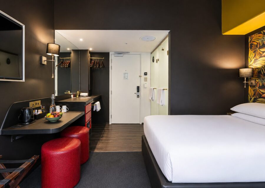
InnsCape Classic (opened as the Tulbagh Hotel), 9 Ryk Tulbagh Sq.60-room hotelHotel since 1962
Signature Lux Foreshore157-room hotel2019
WINK ForeshoreApartment hotel2020
The Duke, 5 Heerengracht81 apartmentsc. 2022
Zeeland PierApartment hotel2024

Help write this history

Did your family build it?

We are looking for the descendants of HAM's Dutch and South African workers, and for anyone with photos of the pier, Roggebaai beach or the dredging.

Share a story

Especially wanted

  • Photos or letters from HAM crews, 1938–1945
  • Family snapshots on the pier or promenade
  • Memories of the Foreshore before the buildings
  • Records of the Rijk Tulbagh Square buildings